IP Geolocation.
High-fidelity geographic enrichment for security and jurisdictional compliance.
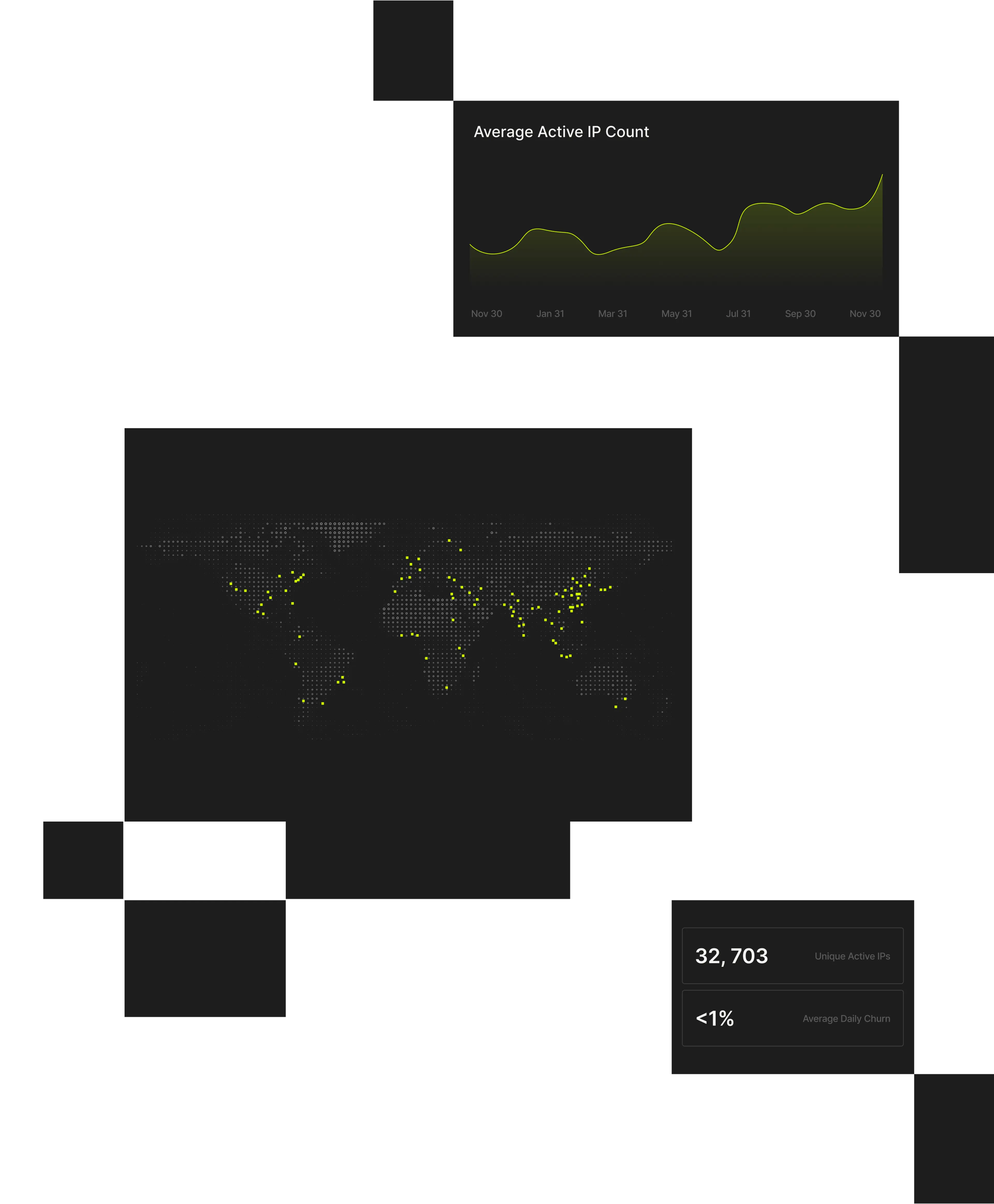
Spur Geographic IP Data provides high-fidelity, internet-wide geo enrichment across 200+ countries for access control, attribution, and regulatory enforcement.
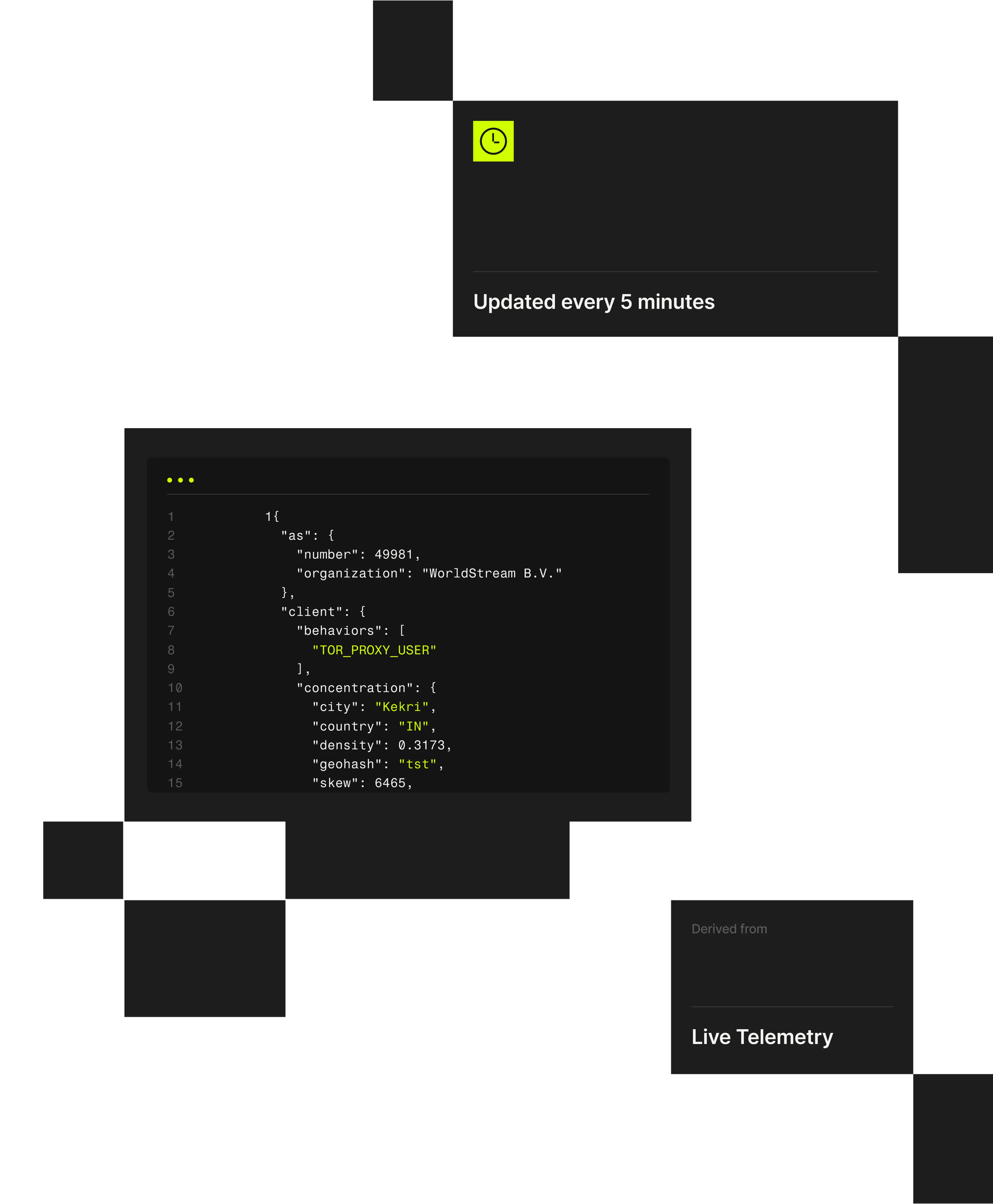
The Spur platform delivers technically validated, privacy-preserving geographic enrichment across 200+ countries. Built from verified network telemetry – not crowdsourced data – it maps every IP to a consistent hexagonal grid for accurate, city-level resolution.
Legacy geolocation tools often rely on user-submitted or ISP-provided data, leading to false confidence and compliance risk. Spur provides a reliable, auditable geographic baseline that improves policy enforcement, attribution accuracy, and regulatory alignment.
Key Benefits:
- Reduce risk by improving geographic accuracy vs. legacy, crowdsourced feeds.
- Improve security by verifying a user’s point of presence without self-reporting.
- Increase efficiency by reducing the number of vendors required to achieve baseline IP enrichment.

How Spur Reveals Accurate Locations.
- 01

Collect:
- 02

Validate:
- 03

Deliver:
Why Teams Choose Spur Geographic IP Data
Where Spur Geographic IP Data Delivers Value


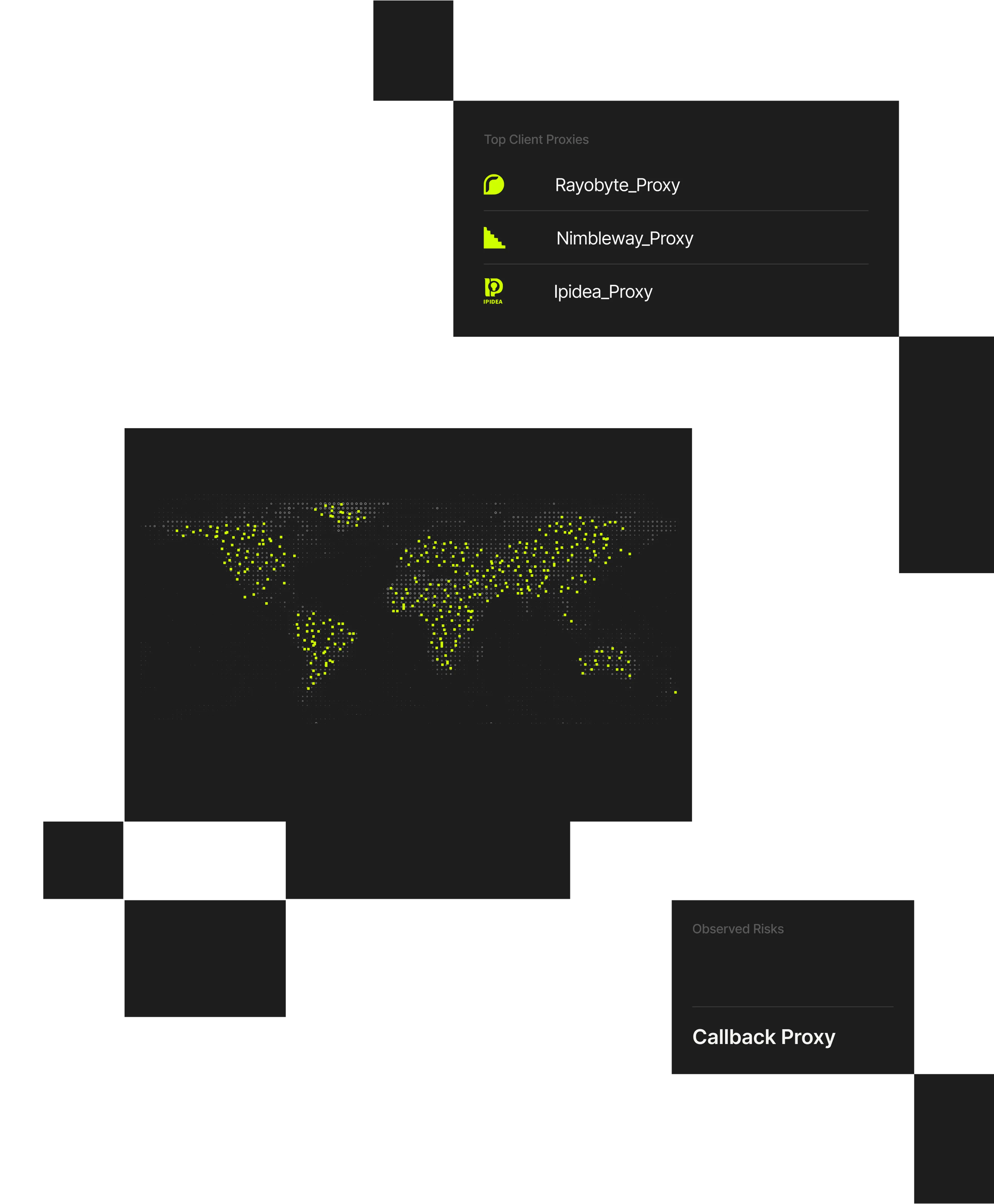
Identify VPN services used in authentication and fraud workflows.
Detect automation and abuse hidden behind residential IPs.
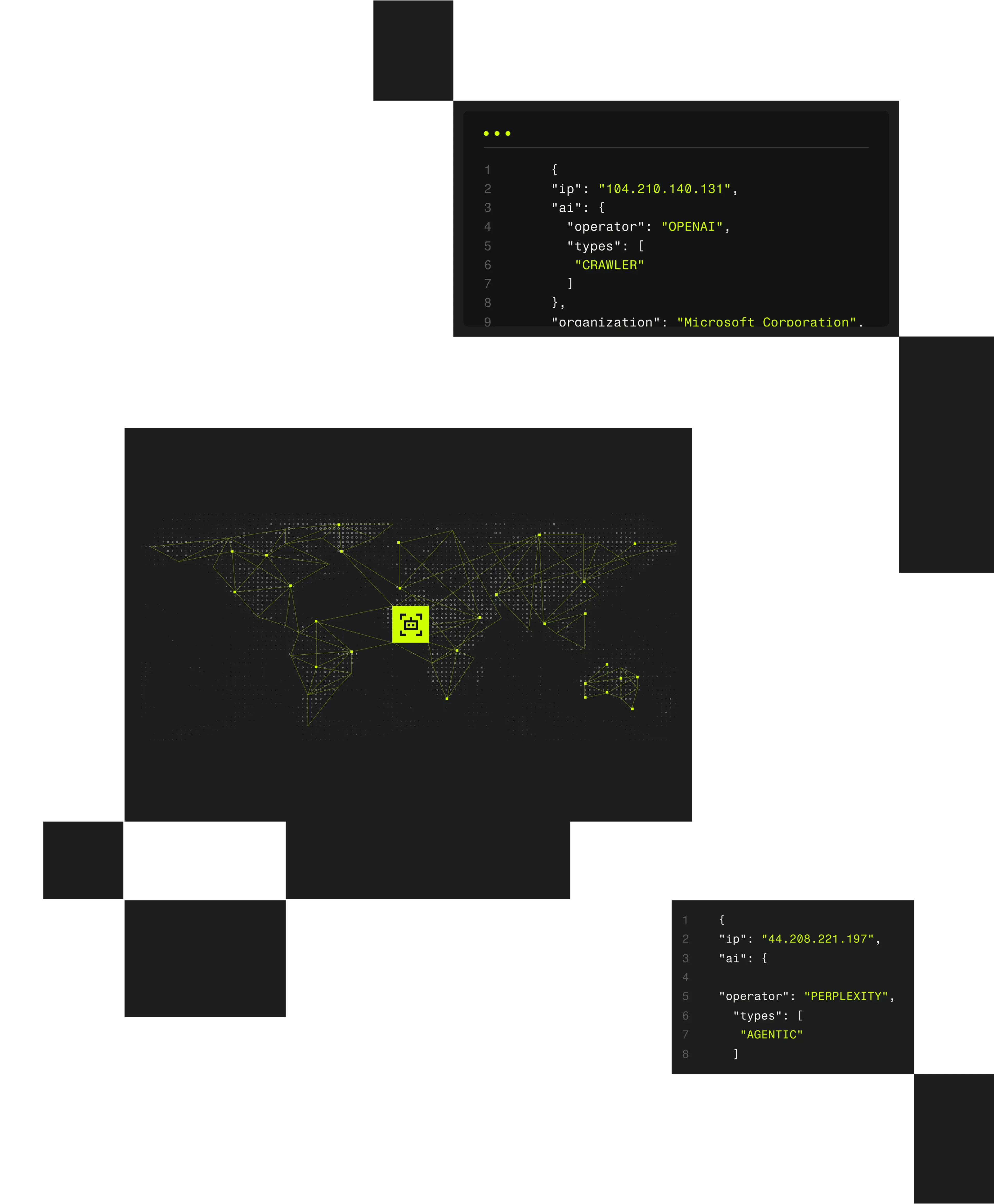
Detect agentic activity and automation.
Review Spur’s 20+ enrichment attributes for transparency and precision.
Real-time enrichment for authentication and fraud detection.
Full dataset for large-scale analysis or compliance workflows.
Correlate proxy detection with live user sessions for deeper visibility.
Connect Spur data directly into your security and analytics tools.
FAQs About Spur Geolocation
Spur uses network-level validation instead of user or ISP submissions, ensuring accurate, verifiable geographic data.
All IPs are mapped to hexagonal grid cells (~2M globally), ensuring precision without exposing individuals or households.
Spur achieves 99.7% city-level coverage and continuously refines accuracy through technical validation and telemetry updates.
Available through Spur's API for real-time lookups, on-prem data feeds for bulk analysis, or integrated as baseline context in session enrichment workflows.
Verify Location with Confidence.
Spur’s verified, explainable geolocation intelligence delivers precision you can prove and privacy you can trust.
